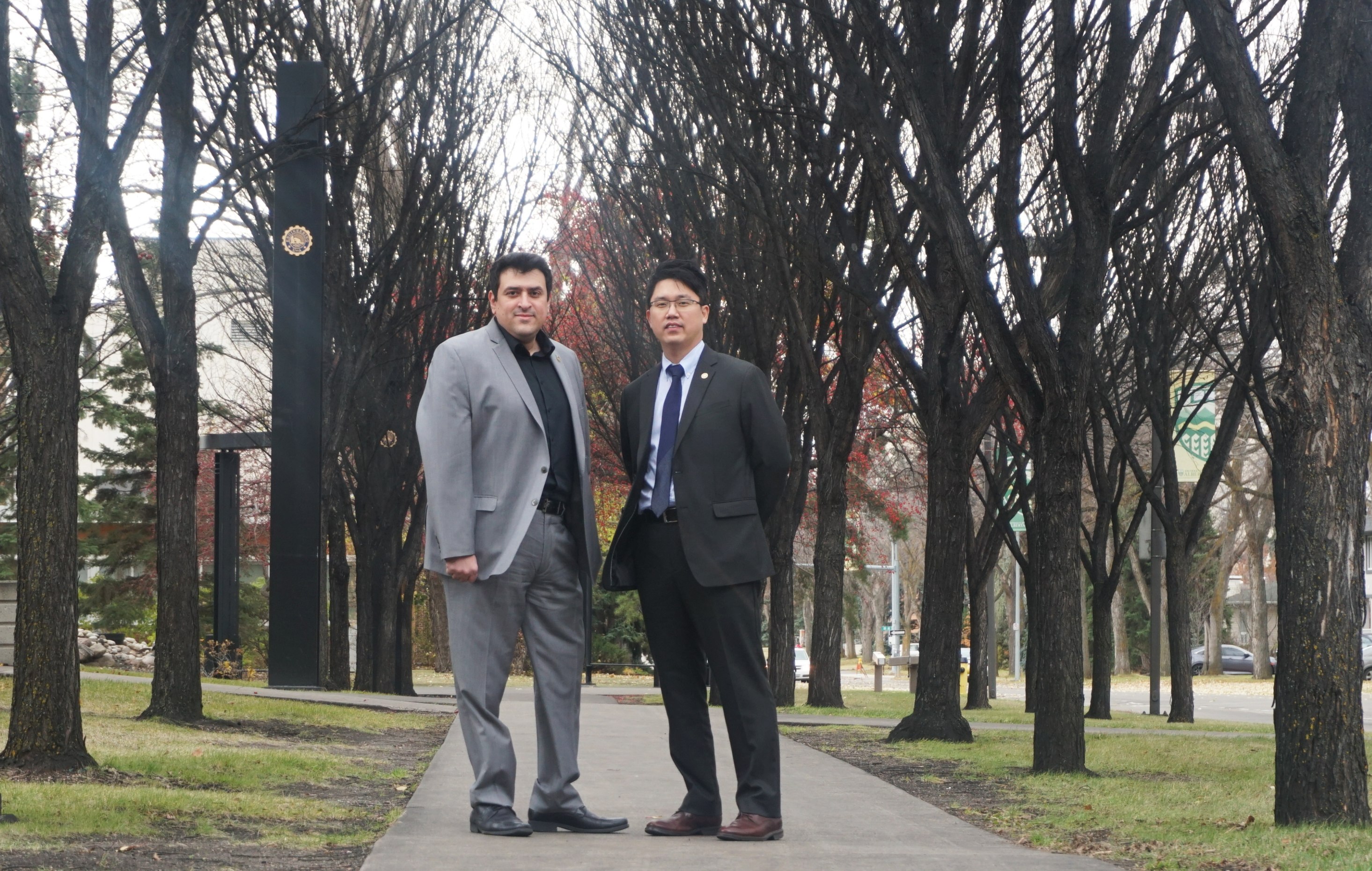
Engineering at Alberta professors Karim El-Basyouny and Tae Kwon are collecting data on Edmonton's river valley to better understand the risk of wildfires.
(Edmonton) With climate change trends, Alberta is experiencing wildfires that occur earlier in the season and with increased intensity, destroying vast tracts of forests and causing life-altering impacts on entire communities.
Fires sweep into towns and cities with dangerous results. In 2011, 7,000 residents of the Town of Slave Lake, Alberta, were evacuated when a forest fire destroyed nearly 500 homes in the town and surrounding area. The 2016 wildfires in the Regional Municipality of Wood Buffalo and Fort McMurray resulted in the evacuation of nearly 90,000 people and caused more than $6 billion in property damage and lost productivity.
The City of Edmonton, which boasts the largest stretch of urban parkland in North America, faces similar threats as the effects of climate change take shape.
A team of Engineering at Alberta researchers is working with the city to better understand the threat of wildfires in the river valley and to help plan a response.
Karim El-Basyouny, who specializes in transportation engineering and traffic safety, is applying remote-sensing technology and data management techniques to fire-risk modelling for the city.
"The first aspect is understanding where all those fires are more likely to happen, getting a good sense of our green space here in Edmonton, and then using that information to develop a response strategy in case there is an emergency," he explained.
Fire-risk modelling is the process of calculating the threats and making decisions for reducing said threats based on managing fuel sources, such as vegetation or foliage.
El-Basyouny and his co-investigator Tae Kwon, also a civil engineering professor at the university, will combine three different data sets to get a complete picture of the city's greenspace, where risks of fire are highest, and what resources exist to aid in evacuations or to supress fires.
The pair will use information from satellite images, information about green space conditions compiled in the city's Primary Land Vegetation Index, and aerial Light Detection and Ranging (LiDAR) data.
LiDAR sends rays of light that reflect and measure the distance to an object. The millions of points detect an object's elevation and positioning, recreating shapes and a 3D space.
The technology is so accurate that it can detect road markings such as cross walks, and road hazards such as pot holes.
By fusing information from the LiDAR, vegetation study, and satellite data sets, the research will reveal hazards and fire risks.
"Knowing that there is that risk and where it's more prominent and what sort of facilities can help us be more resilient," El-Basyouny said, adding that it is important to act proactively.
"When something does happen, you don't have the time to crunch the numbers and run the models and develop the plans. You either had those plans in place beforehand or you didn't," he said.
And in times of crisis, a well-prepared and well-executed response is critical, especially when people's safety at risk.
This is where El-Basyouny's expertise in transportation engineering and traffic safety comes into play.
"In order to respond in a timely fashion, we are going to be relying on the use of existing infrastructure, either roads or trails to get first responders in or to move people out."
The Engineering at Alberta professors were awarded one of the five 2019 CitiesIPCC Legacy Research Grants for their research project.
The grant is a part of Alberta Ecotrust and its partnership with the City of Edmonton, which has a Change for Climate Initiative that strives to make Edmonton an energy sustainable and climate resilient city.
The project is scheduled to commence on January 1, 2020 and should run for a year and a half.