Research
Research
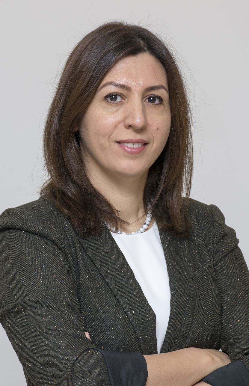
Meet Monireh Faramarzi, principal investigator of the Watershed Science and Modelling Lab

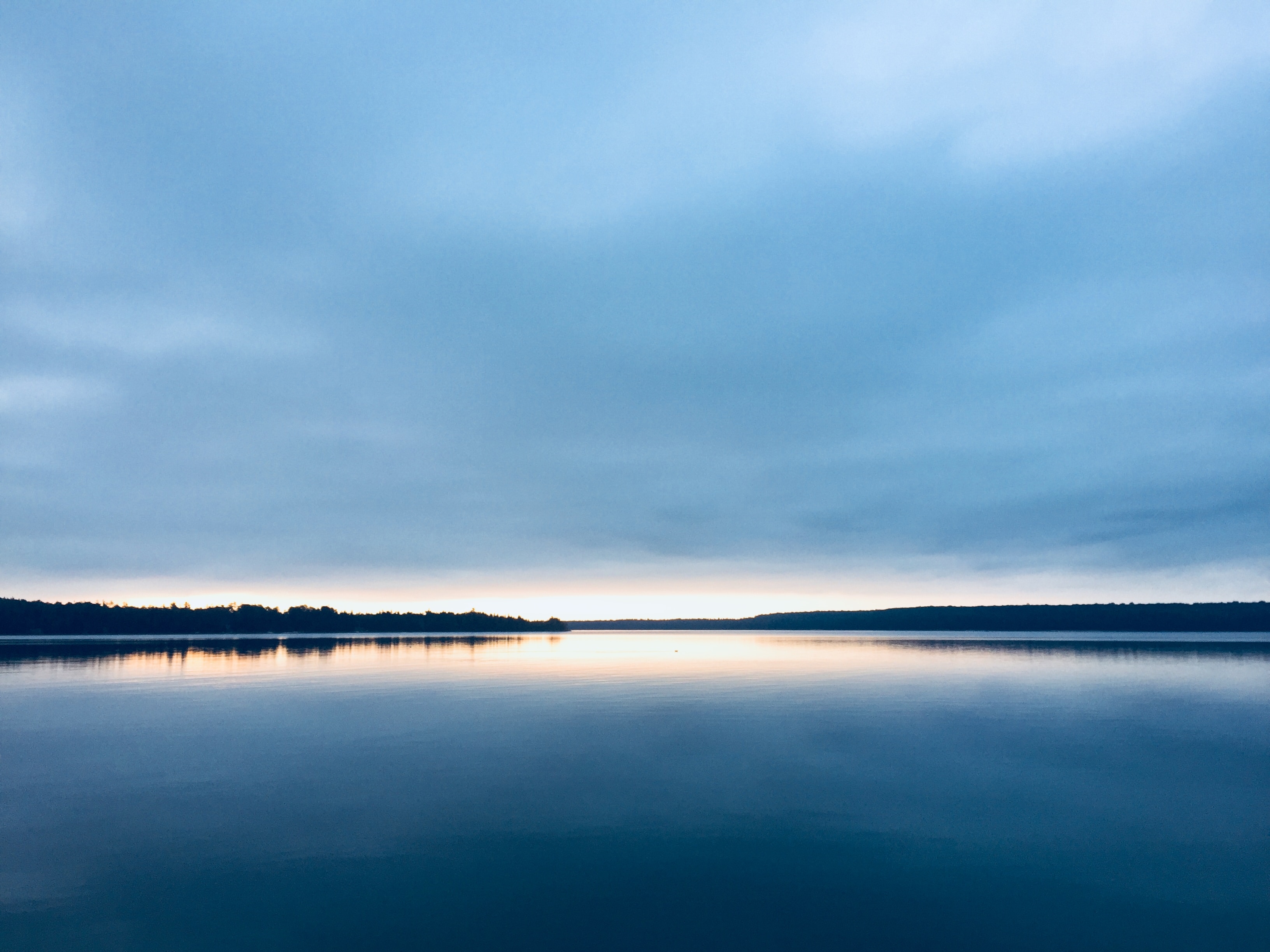
Watersheds—land areas where water collects and drains into larger bodies such as streams, rivers and lakes—provide a constant and stable supply of water for human consumption, crop production, industry, as well as ecosystems and the environment.
They’re essential for producing Canadian agricultural products and other commodities that connect Canada with the rest of the world. But they are under increased pressure from climate change and other human-caused disturbances to the land.
Climate events like droughts are expected to become harsher and more frequent in the future, so understanding how much water we can expect to have, and how we can best manage that water, is essential.
That’s what the Watershed Science and Modelling Laboratory at the University of Alberta is all about: using advanced computer modelling while collaborating with field researchers to project how climate change will affect water supply and water location; examining how a changing water supply will impact agriculture, municipalities and others; and forecasting how water quality may change in the future.
We talked to Monireh Faramarzi to learn more about the lab and how its work connects to Sustainable Development Goal 17: Partnership for the Goals.
What projects are you working on right now?
Our lab recently published a paper on a study that was led by a PhD student of mine. This student wanted to examine extreme drought events and how droughts will look in the future at northern latitudes, such as agricultural watersheds of western Canada.
When you look at the global modelling studies, often they show improved crop yields in these northern areas because northern latitudes respond generally better to climate change than southern latitudes. Projections from the Intergovernmental Panel on Climate Change and from other researchers show more precipitation is expected for these latitudes, which is often perceived as translating to more water availability in these areas.
But often the reported numbers are based on long-term average data that is not connected to other factors. When you have 30 years and you take the average of all of them, you’re ignoring ups and downs. Also, there are many other factors that play a part in shaping our water supply, which makes interpretation and extrapolation only from climate data difficult.
We looked at the most extreme events. We also looked at how future droughts will be different from historical droughts: whether they will last longer and be more impactful than historical droughts. By historical we mean those during the last 30 years.
We found that, we can expect droughts to be very different in the future: our models project less surface runoff will feed rivers as compared to historical drought periods. There will be less precipitation during future droughts as compared to historical droughts.
What does this mean for crop production in these areas?
Our models show less water in the rivers during future droughts as compared to historical droughts. How much of this water gets evaporated depends on the crops and other vegetation types. Some crops use much more water to produce food, or grain; others need less. Certain crops help to retain water in the soil, providing more opportunities for liquid water to stay in the soil and on the ground; and therefore in the rivers, than moving through this pathway from land to sky. We think that by better managing or diversifying crop types there will be opportunities to minimize the risk of droughts.
How does your work connect to SDG 17? And, in particular the Times Higher Education Impact Ranking Indicator 17.2.3, which asks: "Does your university as a body participate in international collaboration on gathering or measuring data for the SDGs?”
Climate change, water, agriculture and industry are all interconnected and our research is very interdisciplinary. It requires expertise from across disciplines such as hydrology, geology, agriculture, soil and crop sciences, to name a few. Given that the work we’re doing covers a massive area that not only crosses the borders between Canadian provinces but also reaches into the United States, we are required to collect a lot of data from across different political boundaries. In that sense our work is quite international. We collaborate and share data as well as research tools with researchers and other groups across Canada and in the U.S..
What would you say is the main goal that drives your research?
My goal is not to craft policy or to directly offer solutions but to inform and to show stakeholders the tradeoffs of various strategies for managing our resources. Ideally, my work will show the options we have for sustainably managing Canada’s water and the industries that rely on it. It is up to citizens, politicians and other decision-makers to choose a path forward.