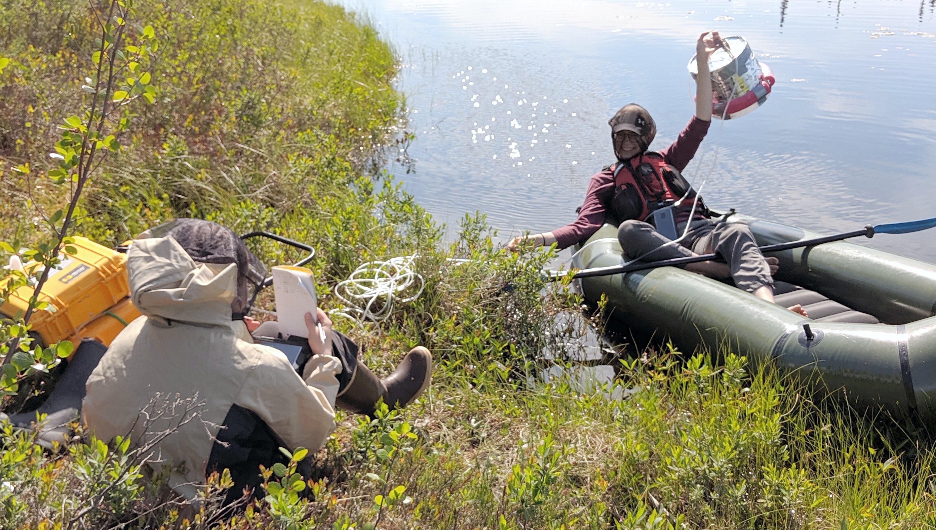
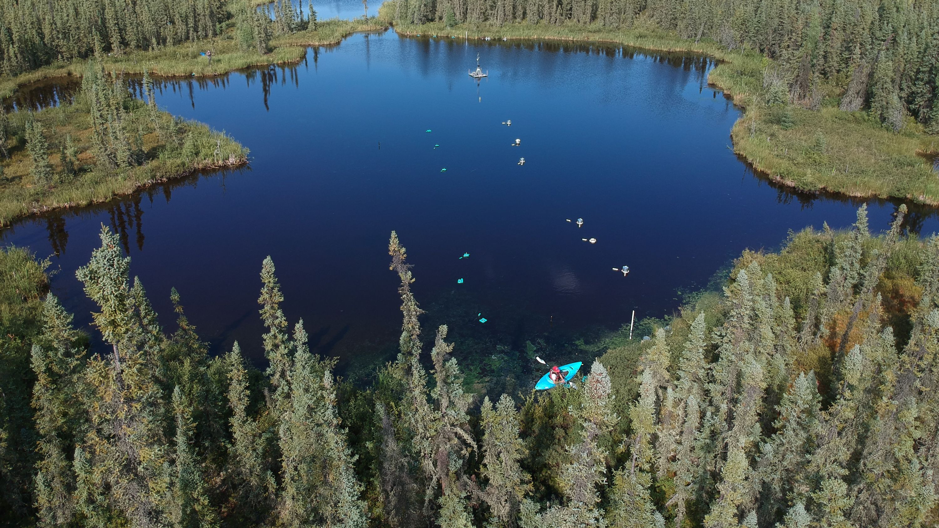
New tools developed by University of Alberta researchers will better track methane emissions from northern permafrost ecosystems, ultimately allowing for more accurate global predictions of future greenhouse gas emissions.
An extensive new emission dataset and map of northern wetlands and lakes will greatly improve estimates of current and future methane emissions, said McKenzie Kuhn, who contributed to the research to earn her PhD from the U of A’s Faculty of Agricultural, Life & Environmental Sciences.
“One of the things that has limited us in the past from making accurate estimates is not having adequate maps of northern wetlands and lakes at a large circumpolar scale, as well as corresponding emission measurements for those ecosystems. It’s exciting that we are starting to have the tools we need.”
Methane is released naturally from the warming sediment and soil in northern lakes and wetlands, and being able to closely measure those emissions adds another layer of accuracy to calculating global greenhouse gas emissions, Kuhn noted.
“Knowing current and future greenhouse gas emissions from natural ecosystems helps us predict future temperatures of the atmosphere, which will help policy makers decide how much we need to reduce human sources of methane emissions to keep atmospheric temperatures livable.
“We can’t stop the lakes and wetlands from emitting methane, but as humans, we can control how much methane we produce through fossil fuel use.”
The tools and findings, developed through a trio of recent studies, can help improve future greenhouse gas emission research that will be vital to climate policy discussions, such as the 2021 United Nations Climate Change Conference, Kuhn added.
“When talking about emission reduction goals, those goals need to incorporate the knowledge from studies like these. If we don’t include natural methane emissions from the North, we won’t meet those overall goals.”
Mapping wetlands and lakes on a global scale
One of the climate research tools, a comprehensive dataset of geographic information, maps the distribution of different wetland and lake types at a large scale never before done for the Arctic boreal region, taking in Russia, Finland, Sweden, Norway, Greenland, Iceland, Canada and Alaska.
The Boreal–Arctic Wetland and Lake Dataset (BAWLD) improves on previous maps, which included only one or two types of wetlands and lakes.
Previous maps at this scale didn't take into account the wide variety of both low- and high-emitting wetlands and lakes or the magnitude of their emissions, Kuhn said.
“This now allows us to more accurately estimate methane emissions.”
Kuhn, professor David Olefeldt and a team of other researchers also created a BAWLD database of methane emissions recorded in all published studies about the northern boreal and Arctic regions — a compilation of almost 2,000 sites and 200 scientific papers.
The dataset was built to match the wetland and lake types in the BAWLD map and will help other climate researchers interested in methane emissions from the region, providing context for new methane emissions measured in the field. It can also be used to help build and improve new emission models.
Converging toward more accurate emissions estimates
In addition, Kuhn led a related study showing that a pattern of high methane emissions found in southern boreal lakes will also likely emerge in similar northern lakes as the North continues to warm.
The researchers measured methane emissions over three years from 20 ecologically similar lakes found in a 1,600-kilometre span between central Alberta and the Mackenzie River delta near the Arctic Ocean. Kuhn found that the emissions were eight times greater in the southernmost region than in the northern lakes.

“The southern lakes may act as a proxy for how lakes in the North will act. As the temperature increases in the northern regions, those lakes will likely start to release more methane, as we observed in the southern lakes,” Kuhn said.
By combining all of the information available through these new studies, the researchers were also able to show that current methane emissions from natural ecosystems in the North could be less than previously estimated.
However, the Arctic and boreal region is still highly influenced by the effects of warming temperatures, Kuhn said.
Collectively, the research helps equip scientists with more exact knowledge about the role the North plays in overall methane emissions, she noted.
The products of this research can also be used by other scientists working on the question of future greenhouse gas projections, Kuhn added.
“We hope other researchers asking the same kinds of questions can use the map and emission dataset to build and improve their own methane emissions models. We want different groups using different approaches and building different models, because once those findings start converging, then we know we are getting close to a more accurate estimate of northern emissions.”
Kuhn and Olefeldt plan to use the new map and dataset in a followup study aimed at pinpointing current methane emissions from the North and also to look at future emissions under different climate change scenarios.
Funding for various U of A researchers involved in the studies was provided by the Natural Sciences and Engineering Research Council of Canada, Campus Alberta Innovation Program, the NWT Cumulative Impact Monitoring Program, the Northern Scientific Training Program, University of Alberta and UAlberta North, Vanier Canada Graduate Scholarships, and the Garfield Weston Foundation. Support was also given by the Gwich’in Renewable Resource Council and the communities of Fort McPherson and Wrigley. The authors respectfully acknowledge that this research took place in the Gwich'in Settlement Region and the lands of the Dehcho Dene, Dënéndeh and Métis in the Northwest Territories, and the Dene Tha’, Woodland Cree, Bigstone Cree and Métis people in Alberta.
